services
Construction Support
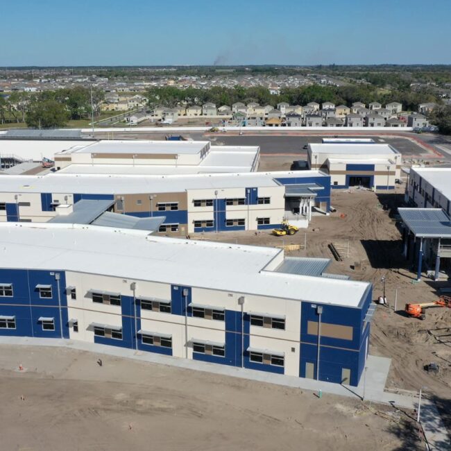
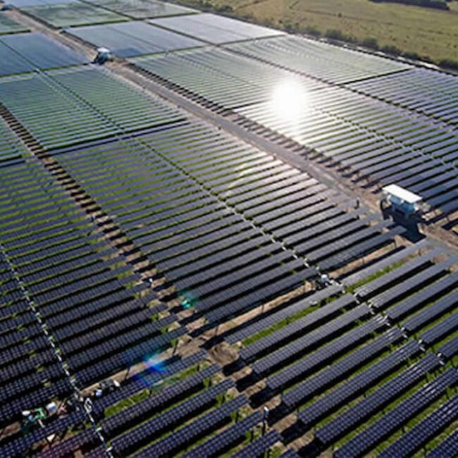
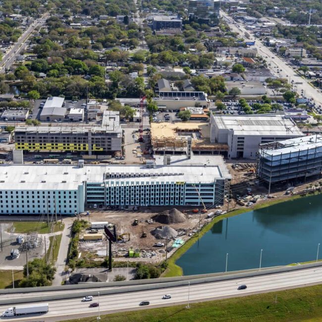
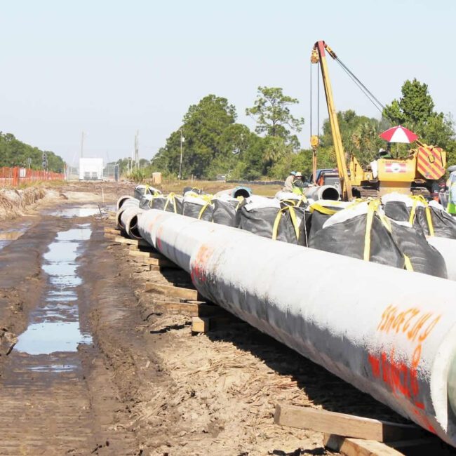
With the engineer or architect’s plan in hand, we hit the ground running. We use the best of our forward-thinking technologies and equipment to stake out the desired position of roads, utilities, paving, drainage, buildings, and any other required to provide the highest level of construction support services.
Our highly specialized crews are on point and continue to raise the standard of service. As a result, we deliver on project deadlines, exceed expectations and meet the demands of a fast-paced industry.
To that end, we work seamlessly with major contractors, providing construction support services that ensure quality control by acting as an extra set of eyes for engineers and developers. We bring added value to each project as our adherence to deadlines and close outs is impeccable. Our knowledge of local municipality regulations is on point. With the most updated Civil 3D and other related engineering software applications, and the best as-built service department in the state, our proficient CAD technicians create seamless products and interaction for the duration of every project.
- Construction Staking
- As-Built / Record Surveys
- Site Control for GPS Operated Machinery
- Prepare Record Drawings
- Engineer Coordination Support
- Geodetic Control Surveys
on point
Construction Support
Construction support & staking is used to establish or clearly mark the desired position of roads, utilities, paving, drainage, buildings, and any other improvements as designed by an engineer and or an architect. Specifically, points staked onto the actual property to indicate the location of the improvement. Generally our crews use flagged or painted lath.
Construction support & staking not only provides horizontal locations, but it also provides vertical information to ensure that surfaces drain or pipes flow as required. GeoPoint also provides As-built surveys. As-built surveys are used to physically locate structures and improvements on land. For example, we produce As-built surveys for records or completion evaluation for commercial and residential projects. Our team, combined with the latest in surveying technology and software, allows us to meet project deadlines and the demands of a fast-paced industry.


