services
Hydrographic Surveys
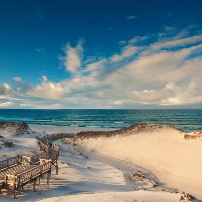
While most survey companies stick with dry land, we’ve never been afraid of getting a little wet.
Our crews have become experts at hydrographic surveys – producing cross sections, spot elevations and seamless bathymetric models using specialized remote sensing sonar technology in everything from residential retaining ponds and waterways, to the open ocean. Our customized deliverables are the missing piece to get your next project on point.
- Pond As-Builts
- Specific Purpose Surveys
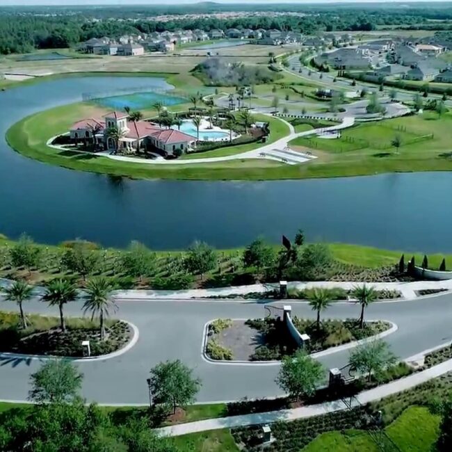
- Residential Canals
- Cross Section Comparisons
- Underwater Location
- Boating Channels
- Freshwater/Saltwater
- Flood Predictions
on point
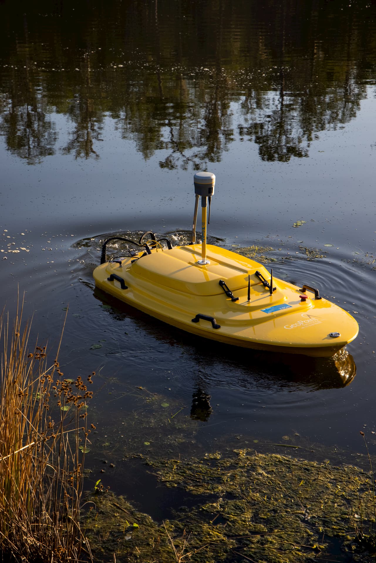
No Limits Under Water Surveys
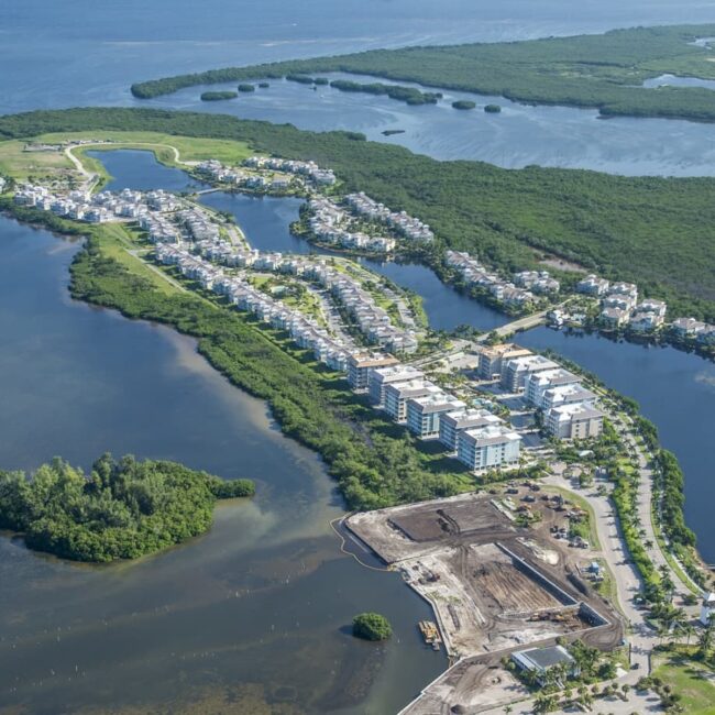
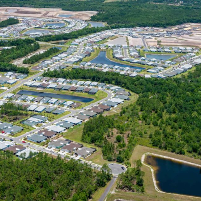
With more than 18% of the state of Florida covered in water, hydrographic services are common in our day to day efforts here at GeoPoint. From small residential retaining ponds to the open ocean, we conduct hydrographic surveys of all sizes and are able to do so completely in house. Our use of the latest in remote sensing sonar technology has allowed us to expand into the field of hydrographic surveying far beyond the services offered by a traditional land survey company. Whether you are looking for cross sections, spot elevations, or seamless topographic models, we produce a customized deliverable that will reflect exactly what you wish to see below the surface.
While most land survey companies have limits to what they can do under water, we set ourselves apart by developing a mission-specific hydrographic services department. We have a team dedicated to your hydrographic needs, armed with the tools necessary to get the job done right. Our team is highly experienced and always ready to get their feet wet.