services
Land Development
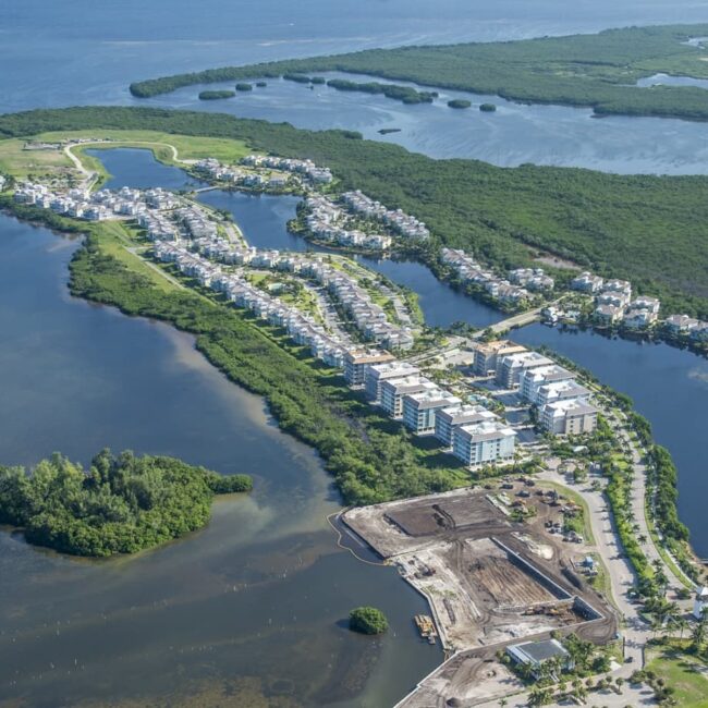
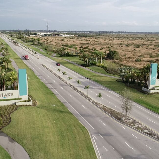
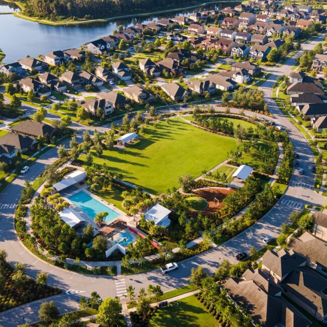
Commercial and residential land development services are the cornerstone of our business and our performance is on point.
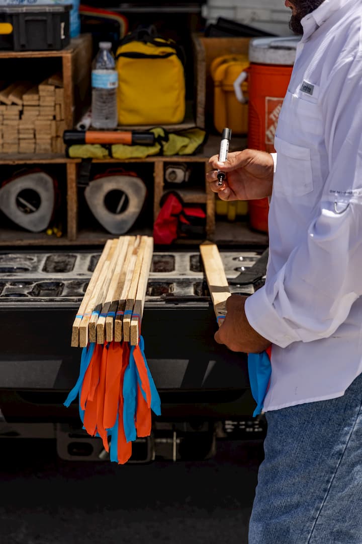
We love getting in the dirt and helping raise up the next building, community, or point of interest in every area we serve. So, with an assembly of every leading-edge technology in our field, and a team of crews specialized in all aspect our business, we continually exceed expectations at every level of our land development services. From boundary surveys, design and as-built surveys, to platting and construction staking, we stay on point.
Our talented staff is well-trained in the entire development process, from land acquisition to land planning and platting services and into the construction phase. Whether we’re providing residential or commercial land development services, we work alongside land developers, large national builders, and engineering firms, altogether providing seamless interaction and collaboration.
- Land Acquisition Support
- Topographic/Design Surveys
- Right of Way/Route Surveys
- ALTA/NSPS Land Title Surveys
- Subdivision Layout/Platting
- Wetland Delineation Surveys
- Legal Descriptions and Sketches
- Mean High Water Surveys
on point
Dedicated and Specialized Land Development
Land development is the true core of work and services provided by GeoPoint Surveying. From small residential lot surveys to multi-acre parcels of untouched soil, our team has the knowledge and experience to see your needs through, start to finish. To this end, we have a multifaceted work force that specializes in each step of the development process.
Whether it be boundary surveys, design surveys, platting, construction staking, or as-built surveys, you can be assured that someone is dedicated to meeting your specific needs in a timely manner. Our methods of data acquisition and post processing are constantly updating to keep up with the latest technological advancements. As a result we deliver a final product that exceeds expectations with attention to punctuality, accuracy, and cost.