services
Geographic Information Systems (GIS)
After we’ve shaken the dirt off our boots, we’re back in the office helping you optimize your project.
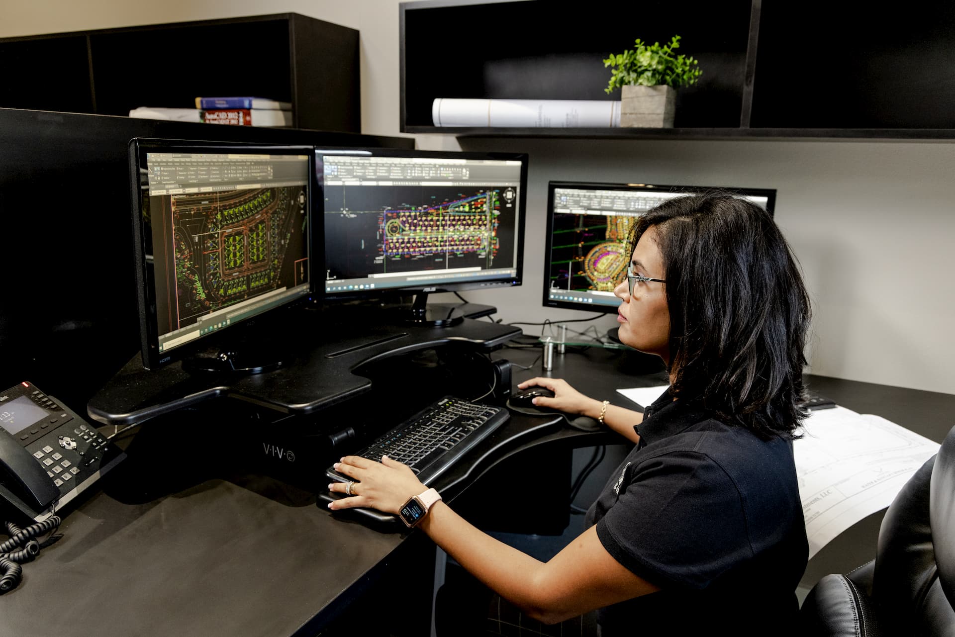
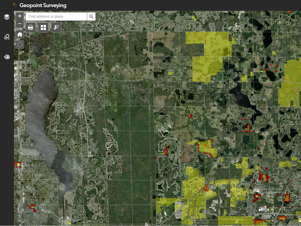
By using Geographic Information Systems (GIS), we can manage and analyze the data collected by our leading-edge technologies and crews of skilled technicians. To that end, we are able to produce highly accurate maps using survey grade data and share this data with our clients, who use the delivered GIS assets to reduce capital costs, provide clarity and advanced visualization tools for meetings, ensure proper risk management and get their project on point.
- Property Record Mapping
- Utility Mapping
- Web Based Applications
- Watershed Analysis
- LiDAR Derived Products (DEM,DSM)
- Database Configuration
- Imagery Hosting
on point
Geographic Information Systems (GIS)
Geographic Information Systems (GIS) is the backbone of everything geospatial. So, we provide clients with the most cutting edge tools to manage and analyze the data produced by our skilled technicians. With GIS assets, clients can optimize their project to drastically reduce capital costs, provide clarity and advanced visualization tools for meetings, and to ensure proper risk management.
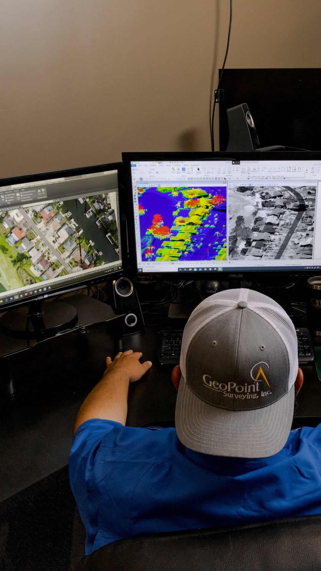
Our team of GIS analysts is experienced and trained in a multitude of project categories, enabling service to a wide range of clients and varied assignments. From county officials and educational institutions, to utility administrators and private sector clients, GeoPoint’s GIS team undoubtedly meets the demand and exceeds expectations.
on point
Highly Efficient & Accurate GIS
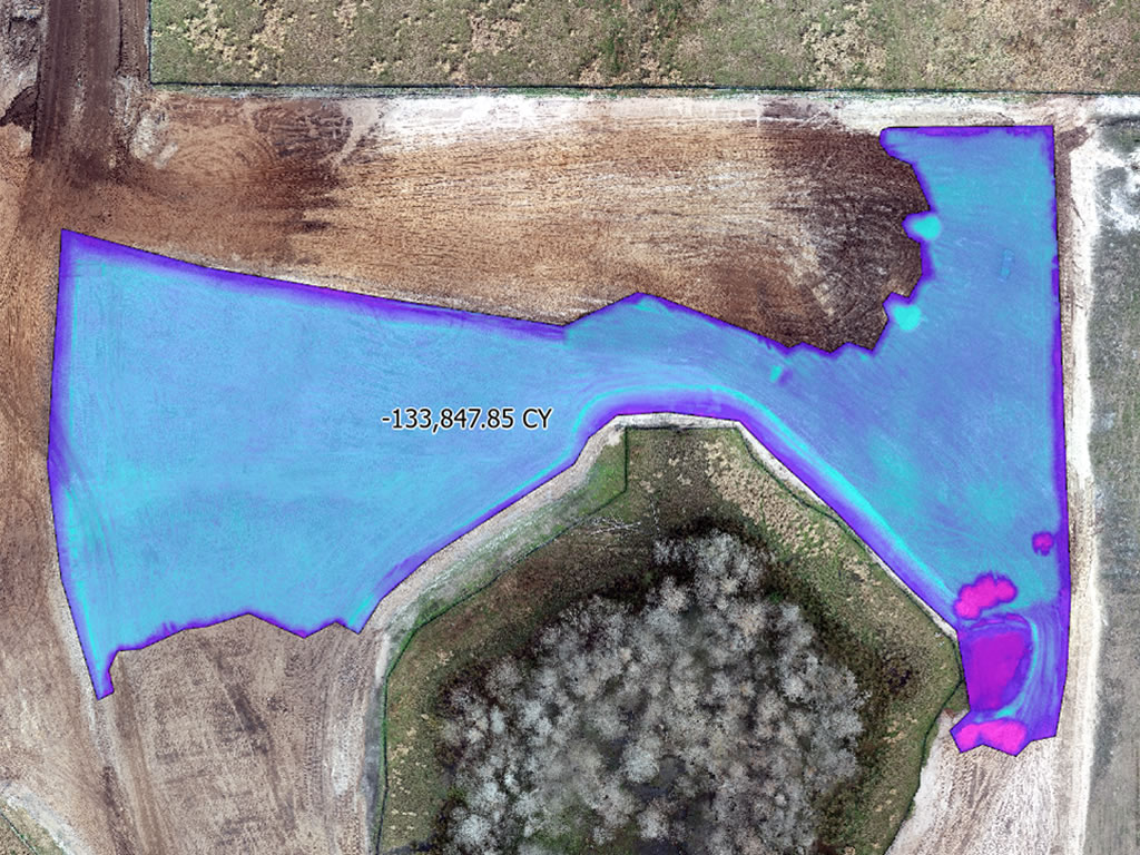
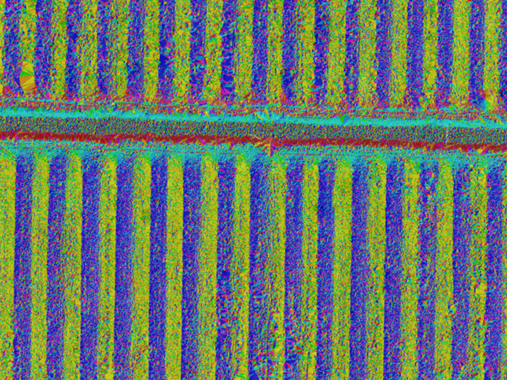
A large portion of current development projects around the state of Florida were built on old farms and ranches. Our GIS team has developed highly efficient and accurate workflows to properly map such repetitious features. As a result, we produce highly accurate dirt volume calculations and drainage flow analyses.
on point
Enhanced Collaboration
Having such a large project list creates the need for a project database portal. GeoPoint GIS professionals and project surveyors collaborate in ways to enhance our GIS capabilities overall. The project webpage allows surveyors to utilize field and office data efficiently because making sure no gaps or overlaps are not created in land boundaries is a critical issue.
on point
Accurate & Fast
Our state of the art GIS team delivers accurate results fast. We created cut/fill analysis within a couple of hours following data collection.